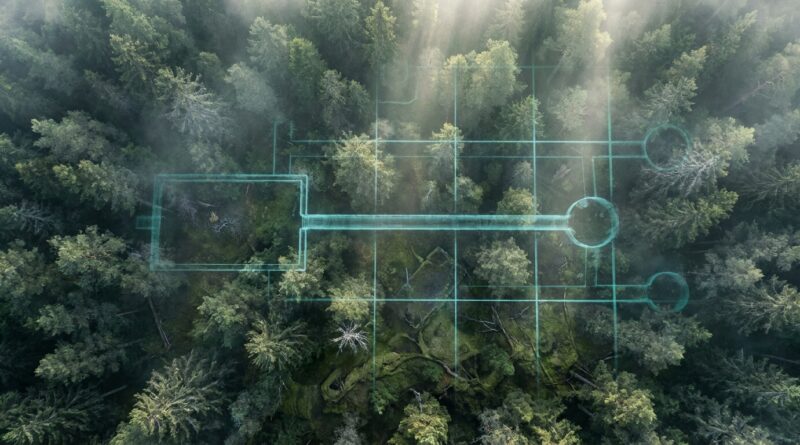
The Tunnel That Shouldn’t Be There: Did Lidar Just Expose a Hidden ‘Ghost City’ Under Europe’s Oldest Forest?
You are not wrong to be annoyed. One thread says “lost civilization.” The next says “it’s obviously a processing bug.” Neither usually shows the actual lidar layers, the terrain model, or the boring but important question: does the shape survive when you change how the data is rendered? That is the real story here. A fresh lidar scan from one of Europe’s oldest forests appears to show a long, geometric, tunnel-like structure linked to angular outlines that do not fit the usual random bumps, roots, or erosion scars people expect in old woodland. No, lidar has not “proved” a ghost city. But it has exposed an anomaly that is interesting for a reason regular readers can verify for themselves. The smart move is to treat it like a live investigation. Look at the raw terrain, compare different visualizations, check old maps, and ask what kind of human or natural process could leave that footprint.
⚡ In a Hurry? Key Takeaways
- This mysterious lidar tunnel hidden structure under european forest is real as a visible anomaly in the dataset, but not yet proven as a buried city or tunnel.
- Best next step is to compare multiple lidar views, historic maps, geology, and any known mining or military records before jumping to dramatic claims.
- The value here is not hype. It is that anyone can inspect the same public data and learn how to separate a genuine pattern from wishful thinking.
What people think they are seeing
The buzz centers on a set of clean-looking lines and enclosed shapes under dense forest cover. In social posts, the most shared image usually looks like a long corridor or trench with connecting geometric forms nearby. That is why people started calling it a tunnel, a fort, or a “ghost city.”
The key point is this. Lidar often strips away the visual mess of trees and leaves, which can make the ground surface look almost unnaturally neat. Once the forest canopy is removed in the model, old banks, ditches, roads, quarry scars, charcoal platforms, and wartime earthworks can pop out fast.
So yes, the shape may be surprising. But surprising does not automatically mean impossible.
What lidar actually shows, in plain English
Lidar is basically a way of measuring distance with pulses of light, usually from an aircraft. Those pulses bounce off leaves, branches, and the ground. Software then sorts the returns to build different views of the landscape.
Why this matters here
If the “tunnel” only appears in one dramatic shaded image, be careful. Some render styles exaggerate edges and can make soft terrain changes look like hard walls.
If the feature stays visible across several products, that is more interesting. For example:
- Hillshade from different sun angles
- Slope maps
- Local relief models
- Bare-earth digital terrain models
When a structure survives all of those, you are no longer looking at a single weird pixel. You are looking at a repeating signal in the terrain.
Why experts are not rushing to call it a buried city
Because they have seen this movie before.
There are at least four boring explanations that can produce dramatic shapes under a forest:
1. Old forestry and land management
Centuries of woodland use leave traces. Boundary banks, extraction tracks, drainage cuts, and timber transport routes can look ancient and mysterious if you do not know the local history.
2. Mining or quarrying
This is a big one. Forgotten adits, spoil lines, prospecting cuts, and collapsed workings can create linear or geometric patterns. If the area has any known history of iron, salt, copper, or stone extraction, that possibility goes right to the top of the list.
3. Military earthworks
Europe is full of old defensive lines, training grounds, bunkers, and trench systems from many eras, not just the famous wars. Some are badly documented. Some are not documented at all in the places internet sleuths first check.
4. Data artifacts
Yes, this still happens. Stitching errors, interpolation issues, vegetation filtering mistakes, and edge effects can create fake regularity. This is why one screenshot is never enough.
Why people are excited anyway
Because this one seems to sit in the sweet spot.
The outlines being shared are regular enough to make people pause, but not so cartoonishly perfect that they scream “Photoshop” at first glance. Better still, this is not some fuzzy light in the sky. It is terrain data that can be checked, reprocessed, and argued over in public.
That makes it a much healthier mystery than the usual viral junk. You can test it.
How to read the anomaly like an investigator
If you want to be useful instead of just loud, start with a simple checklist.
Check whether the shape repeats across views
Do not trust the most dramatic image. Look for the same form in multiple visualizations. If the corridor-like feature changes shape wildly when the light angle changes, it may be more illusion than structure.
Look at the surroundings, not just the “tunnel”
Does it connect to terraces, banks, roads, pits, or water channels? A single strange line is hard to read. A network is much easier to interpret.
Compare with historic maps
Even rough 18th or 19th century maps can reveal roads, boundaries, extraction zones, and vanished settlements. A “ghost city” often turns into “forgotten industrial landscape” once the paper trail catches up.
Check geology and topography
If the feature runs through terrain in a way that makes no engineering sense, that is a red flag. If it follows a seam, ridge, or workable slope, then mining or transport becomes more plausible.
Ask the least exciting question first
Could this be drainage? Could this be war-related? Could this be forestry? The people who get mysteries right most often are the ones willing to be briefly boring.
So, is it a tunnel?
Probably not in the way social media means it.
Lidar is excellent at showing the surface expression of buried or semi-buried features. It is not x-ray vision for giant underground halls. If people are calling it a tunnel, what they are usually seeing is one of three things:
- A trench or hollow way
- A collapsed line above an underground feature
- A linear embankment-and-ditch system
A true underground passage might leave hints on the surface, especially if parts have collapsed. But lidar alone does not let anyone confidently say, “There is an intact tunnel here.” For that you would want ground survey, old records, maybe geophysics, and eventually fieldwork.
What would make this a big archaeological story
A few things would raise the stakes fast.
Clear geometry with no modern match
If the shape is strongly organized, repeated, and not explained by forestry, mining, military, or modern survey work, then archaeologists start paying closer attention.
Associated features nearby
Platforms, enclosure lines, routeways, and water control features can suggest planned activity rather than random disturbance.
Independent confirmation
If another dataset, another team, or old documentary sources point in the same direction, the anomaly gets much harder to dismiss.
Ground truth
This is the gold standard. A field visit can reveal whether the supposed edges are real banks, cuttings, spoil, stonework, or nothing of the sort.
What would make it collapse as a claim
Also important.
- The feature only appears in one processed image
- It lines up suspiciously with scan tiles or processing boundaries
- Old maps show a mundane explanation that was simply overlooked
- Higher quality local data fails to reproduce the shape
That is not cynicism. That is how you keep your feet on the ground while looking at exciting data.
Why this matters beyond this one forest
This is becoming the new normal. Public remote-sensing data is getting good enough that curious readers can spot real oddities before institutions have published polished interpretations. That is exciting, but it also creates a flood of overconfident nonsense.
The trick is to build a better filter. Not a killjoy filter. A useful one.
The best anomaly hunters are not the people who believe everything. They are the people who can hold two thoughts at once. “This is weird.” And, “I need three more checks before I say what it is.”
My read, for now
The mysterious lidar tunnel hidden structure under european forest looks worthy of attention. It does not yet look worthy of grand claims.
If I had to rank likely explanations today, I would put “human-made landscape feature of unknown date” above “lost city” and well above “ancient aliens.” That still leaves a lot of room for something important. A forgotten fortification complex, a mining landscape, a transport corridor, or a previously undocumented settlement system would all be significant stories.
And if later work shows it is a rendering artifact or a very ordinary earthwork, that is still valuable. You learned how the mistake happened. That is how communities get smarter.
At a Glance: Comparison
| Feature/Aspect | Details | Verdict |
|---|---|---|
| What the lidar confirms | A visible, structured terrain anomaly appears in the scan and deserves checking across multiple render types. | Interesting, but not proof of a buried city or tunnel. |
| Most likely explanations | Historic earthworks, mining remains, forestry infrastructure, military features, or a processing artifact. | Start with ordinary causes before extraordinary ones. |
| What happens next | Cross-check public datasets, review maps and records, then seek field verification or geophysical follow-up. | This is an open investigation, not a settled discovery. |
Conclusion
This is exactly the kind of story worth paying attention to. It sits right on the line between “glitch in the dataset” and “this changes what we thought we knew.” That is rare. Better still, it is happening in public, with high-resolution data that regular readers can inspect for themselves. That means you do not have to sit there while influencers spoon-feed you hype or smug dismissal. You can look. You can compare. You can learn how lidar really works and sharpen your own nonsense detector. If this shape turns out to be a lost fort complex, a forgotten mining network, or something we do not yet have good language for, you will have seen the case develop from the first weird pixel. And if it turns out to be less dramatic, that is still a win, because the community gets better at telling mystery from mirage.